All Resources » Sustainable Land Management Program

Sustainable Land Management Program

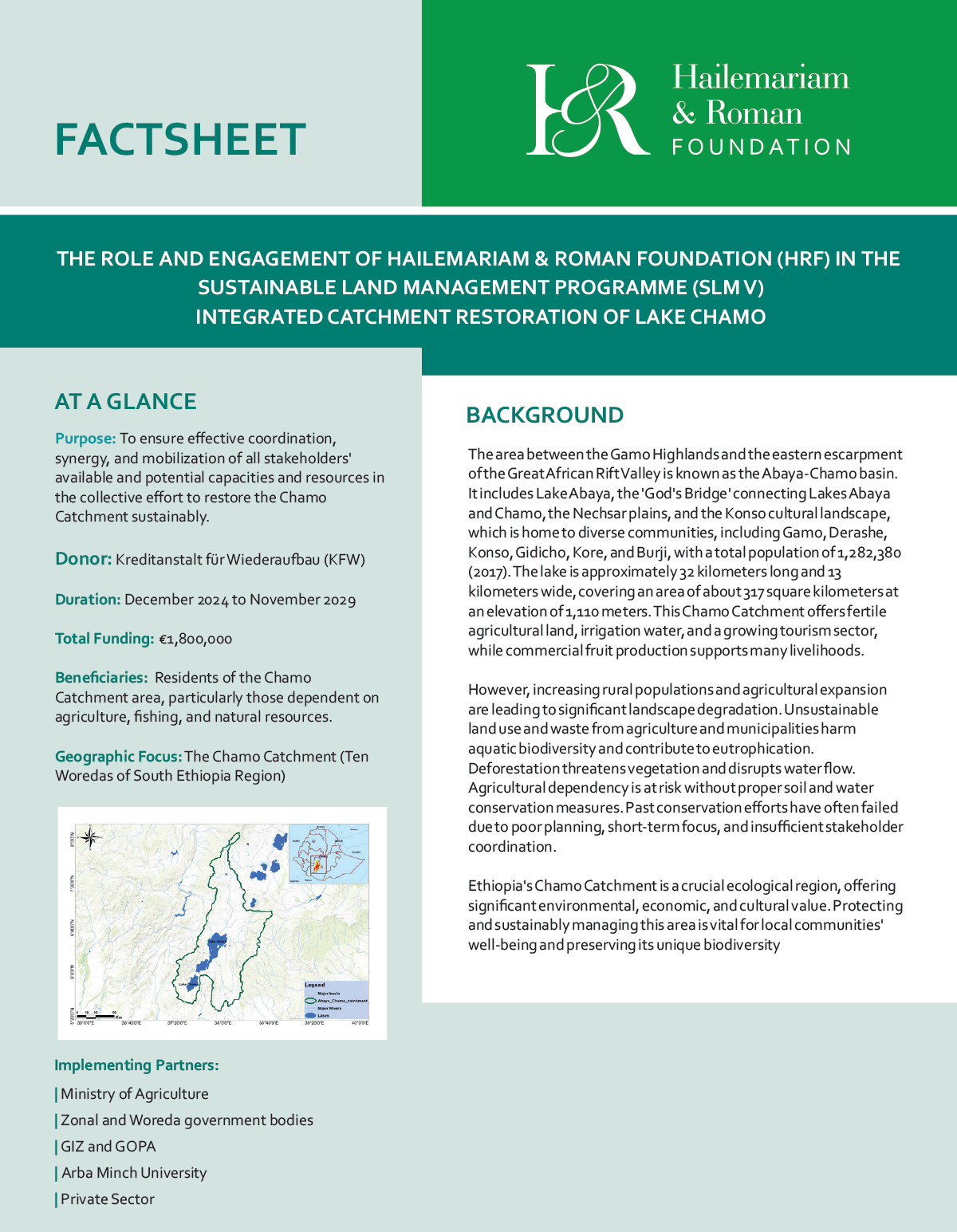
The area between the Gamo Highlands and the eastern escarpment of the Great African Rift Valley is known as the Abaya-Chamo basin. It includes Lake Abaya, the ‘God’s Bridge’ connecting Lakes Abaya and Chamo, the Nechsar plains, and the Konso cultural landscape, which is home to diverse communities, including Gamo, Derashe, Konso, Gidicho, Kore, and Burji, with a total population of 1,282,380 (2017). The lake is approximately 32 kilometers long and 13 kilometers wide, covering an area of about 317 square kilometers at an elevation of 1,110 meters. This Chamo Catchment offers fertile agricultural land, irrigation water, and a growing tourism sector, while commercial fruit production supports many livelihoods.
Our Key Partners

Agence Française de Développement
BOS+
China Foundation for Rural Development
Center for International Reproductive Health Training
Gates Foundation
Agence Française de Développement
Gates Foundation
Center for International Reproductive Health Training
BOS+
Deutsche Gesellschaft für Internationale Zusammenarbeit (GIZ)
Mastercard Foundation
China Foundation for Rural Development
Katholieke Universiteit Leuven
OppenheimerFoundation
Agence Française de Développement
Gates Foundation
Center for International Reproductive Health Training
China Foundation for Rural Development
Oppenheimer Foundation
BOS+
Deutsche Gesellschaft für Internationale Zusammenarbeit (GIZ)
Mastercard Foundation
Katholieke Universiteit Leuven
Deutsche Gesellschaft für Internationale Zusammenarbeit (GIZ)
Katholieke Universiteit Leuven
Mastercard Foundation
Oppenheimer Foundation